As One Round of Rain Wraps Up, Another One is Just Around the Corner
Following morning showers and thunderstorms, New Jersey will see about 24 to 36 hours of dry weather before rain chances return to the forecast.
Here are your weather headlines for Tuesday, April 21, 2015...
24 to 36 Hours of Dry Weather
We’ve endured over 24 hours of occasionally steady rain here in New Jersey, and we’ll now get to enjoy some dry, pleasant weather before the next round of wet weather. Impressive one-day rain totals have topped 2 inches in the wettest spots, pushing month-to-date April rainfall close to (or even above) normal.
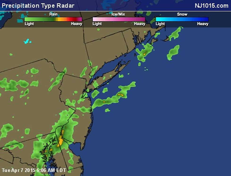
There are still a few areas of rain pushing northeastward through New Jersey this morning. Certainly nothing as heavy or steady as Monday morning, but there are some embedded downpours and a few lightning flashes. Wet roads and occasionally reduced visibility could make this morning’s commute tricky. (Although again, I doubt it will be as much of a headache as yesterday’s ride to work.) The rain will fizzle and exit the area through the rest of the morning - by 10 a.m. or Noon at the very latest. Skies will then clear quickly, and I’m optimistically forecasting mostly sunny skies by late afternoon. A stiff west breeze up to 20 mph will accompany pleasant high temperatures in the mid to upper 60s.
Wet Wednesday?
Our next storm system arrives Wednesday afternoon, and looks to bring scattered showers and thunderstorms through Wednesday evening. This rain will have a very different character compared to the past 24 hours of persistent rain. "Scattered" means the rain won’t really be steady, but rather we should expect on-and-off raindrops. Occasional downpours, along with some lightning and thunder, are possible. The chance for severe weather is low.
Final raindrops should fall by midnight Wednesday night.
Below Normal Temperatures
New Jersey has enjoyed above normal temperatures since April 10, but that streak is about to come to an end. Following Wednesday's rain, cooler air will flow into New Jersey. That will be immediately noticeable by Thursday morning, as temperatures fall into the upper 30s for much of the state. If thermometers fall to about 37° or lower, patchy frost - yes, frost - will be possible. That will only be a potential problem for gardeners who have already planted vegetation that is sensitive to cold and frosty ice crystals. Of course, it also means we'll have to drag out the jacket for Thursday morning.
High temperatures on Thursday afternoon will be limited to the mid to upper 50s, with a brisk wind keeping the day blustery. Friday will feature more of the same: partly sunny skies, cool temperatures, and breezy conditions. And the early look at the weekend puts temperatures in the upper 50s and lower 60s... not terrible, but probably not as warm as we’d like.
More From WPG Talk Radio 95.5 FM


